- 2D Geospatial Data Engineering
- 3D Geospatial Data Engineering
- Remote Sensing
- Industries
This selection helps us tailor your visit on the website by providing you with localized information.

Remote sensing encompasses a wide range of techniques employed to gather information about the Earth's surface without requiring direct physical contact. Examples of remote sensing techniques include lidar, infrared imaging, and aerial photography. Avineon is committed to assisting you in maximizing the value of your remote sensing data!
Remote sensing techniques are becoming increasingly accessible and cost-effective, leading to a surge in the adoption of remote sensing data by organizations. The volume of available datasets generated by drones, aircraft, and satellites is expanding, with a significant portion freely accessible and ready for utilization by your organization. However, data collection alone is not an objective; data becomes valuable only when insights are extracted from it.
Geospatial Data Engineering is our area of expertise. We assist you in integrating geographical data sources and maximizing their value. We automate your remote sensing processes using workflows that eliminate the need for manual intervention. Our expertise lies in processing lidar, drone, and satellite data, and we are eager to apply this specialized knowledge to advance your organization.
For more information on how Avineon can assist with the automatic classification of remote sensing datasets, please refer to the pages listed below.
The implementation of Artificial Intelligence enables automatic object recognition in both satellite and aerial imagery. Specific objects such as buildings, silos, or solar panels are swiftly identified as such by AI.

Lidar data classification is a specialized field. Avineon possesses extensive experience in lidar projects related to 3D city models and vegetation monitoring. We are committed to assisting you in extracting the maximum value from your lidar data.

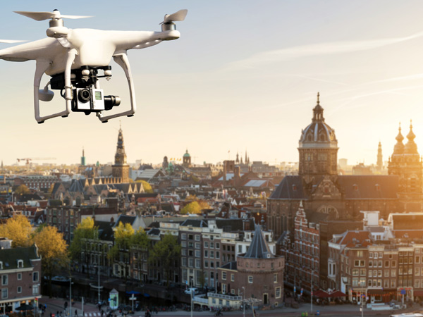
The advent of affordable professional drones has made tailored aerial photography for GIS projects accessible. Drones provide solutions for high-detail analyses.

The implementation of Artificial Intelligence enables automatic object recognition in both satellite and aerial imagery. Specific objects such as buildings, silos, or solar panels are swiftly identified as such by AI.

Lidar data classification is a specialized field. Avineon possesses extensive experience in lidar projects related to 3D city models and vegetation monitoring. We are committed to assisting you in extracting the maximum value from your lidar data.

The advent of affordable professional drones has made tailored aerial photography for GIS projects accessible. Drones provide solutions for high-detail analyses.

Remote sensing data plays a vital role in Geographic Information Systems (GIS). Our company specialises in processing vast amounts of this data to extract valuable insights for a wide range of applications. By integrating remote sensing data with GIS, we can create detailed maps and analyses that would be impossible with traditional ground-based methods. This allows us to monitor land cover changes, identify environmental hazards, and track resource development over large areas.
Remote sensing analysis involves using specialised techniques to extract meaningful information from remotely collected data. This data is typically captured by satellites and aircraft, which measure the Earth's surface through reflected or emitted electromagnetic radiation. By analyzing this data, we can characterise the properties of land, water, and even objects on the Earth's surface. Our expertise lies in handling big data sets and applying advanced algorithms to unlock the hidden potential within remote sensing data.
One of the most powerful applications of remote sensing analysis is classification. This involves grouping pixels within an image based on their spectral characteristics. For instance, we can classify pixels to identify different types of vegetation, differentiate urban areas from rural landscapes, or map the extent of water bodies. Classification allows us to create thematic maps that visually represent the distribution of various features across a geographical area.
Remote sensing imagery can be captured from different perspectives. Nadir imagery is acquired directly overhead, providing a vertical view of the Earth's surface. This type of imagery is often used for mapping purposes due to its consistent scale and minimal distortion. Oblique imagery, on the other hand, is captured at an angle, offering a more three-dimensional view of the landscape. Oblique imagery can be useful for applications such as identifying specific features or assessing the condition of infrastructure.
There are two main categories of remote sensing: active and passive. Passive remote sensing relies on naturally occurring radiation emitted or reflected from the Earth's surface. Satellites like Landsat and Sentinel-2 capture passive remote sensing data. Active remote sensing, on the other hand, transmits its own energy source, typically radar or LiDAR, to illuminate the target area and analyse the reflected signal. This method is particularly useful for acquiring data under low-light conditions or penetrating cloud cover.
Remote sensing data can be captured across different parts of the electromagnetic spectrum. Multispectral imagery focuses on a limited number of spectral bands, typically visible, near-infrared, and shortwave infrared. This type of data is suitable for broad land cover classification and vegetation analysis. Hyperspectral imagery, on the other hand, captures data across a much wider range of spectral bands, providing a more detailed fingerprint of the Earth's surface. Hyperspectral data is valuable for applications requiring highly specific material identification and mineral exploration.
Python has become a popular programming language for remote sensing data analysis due to its open-source libraries and powerful functionalities. Our team of experts leverages Python libraries like GDAL, Rasterio, and scikit-learn to process, analyse, and visualise large datasets efficiently. Python's versatility allows us to automate complex workflows and develop custom algorithms tailored to specific remote sensing applications.
Avineon boasts more than 30 years of experience in supporting organizations in sectors such as transportation, utilities, telecommunications, and critical infrastructure maintenance.
Over the past three decades, we have assisted 300 organizations in enhancing their location-based IT processes. The knowledge we gain is directly applied across diverse industries.
To learn more about our approach, download our e-book titled Why Avineon?

Infrared analysis is a well-established method for extracting the full potential from aerial imagery data, leading to more efficient urban planning and nature management processes. Avineon is committed to assisting you in maximizing the value of infrared analysis.
High-quality satellite imagery is freely available. National and international databases enable you to enrich your GIS data. For efficient use, an advanced automated workflow is absolutely essential.
The future of geographic information systems lies in 3D. Data transformation and visualization in 3D are labor-intensive processes. Avineon is committed to assisting you in navigating both steps at relatively low costs.